
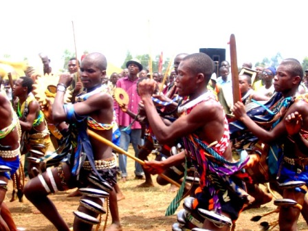
PEOPLE AND CULTURES OF UGANDA
THE SETTLEMENT AND CLASSIFICATION OF THE PEOPLES OF UGANDA GEOGRAPHICAL BACKGROUND. Uganda lies entirely between the two arms of the Great Rift Valley in East Africa. To the west, Uganda a borders Zaire (former Belgian Congo). This border concides with…
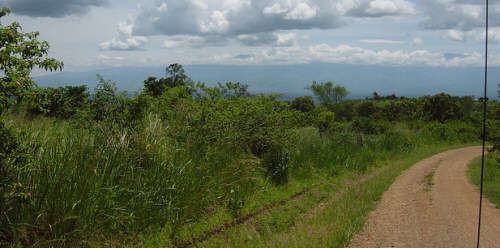
KAMWENGE DISTRICT
Formerly part of the Kabarole district. It became a district in 2000. LOCATION It borders Kyenjojo in the east, Kabarole in the west, Kibale and Kyenjojo in the north. Mbarara in the south. POPULATION 295.313 people, 152.132 female and 143.181 male. MAIN…
KABAROLE DISTRICT
It was part of Toro Kingdom at Independence. Following the abolition of Kingdoms in 1967, the kingdom became a district composed of present day Kasese, Kamwenge, Kyenjojo, Bundibugyo and Kabarole Districts. LOCATION It borders the districts of Bundibugyo…
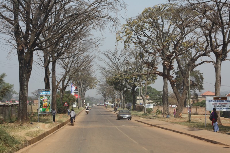
HOIMA DISTRICT
It was part of former Bunyoro District. At Independence, Bunyoro was a kingdom and Hoima was an entity within the Kingdom. When Ugandan Kingdoms were abolished in 1967, Bunyoro became a district. In 1974 Bunyoro was divided into North Bunyoro and south…

BUNDIBUGYO DISTRICT
At Independence in 1962, Bundibugyo was part of Toro Kingdom. When the kingdoms were abolished in 1967, Toro Kingdom attained district status. IN 1974, Semliki District was carved out of Toro District and in 1980 it was re-named Bundibugyo. LOCATION It…