
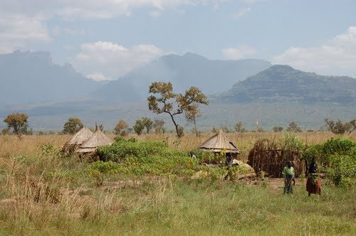
KAPCHORWA DISTRICT
During independence, it was known as Sebei and in 1980, it was re-named Kapchorwa. The main language is Kaksabin. LOCATION It borders the district of Sironko in the south-west, Nakapiripit in the north, Moroto in the north and the republic of Kenya in…
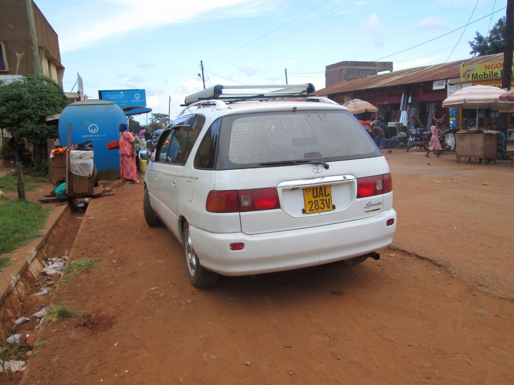
KAMULI DISTRICT
LOCATION It borders the districts of Iganga in the East, Jinja in the south, Kayunga in the west, Soroti in the north and Pallisa in the north-east. In 1974, the provincial Administration Kamuli was part of North Busoga province. North Busoga Province…
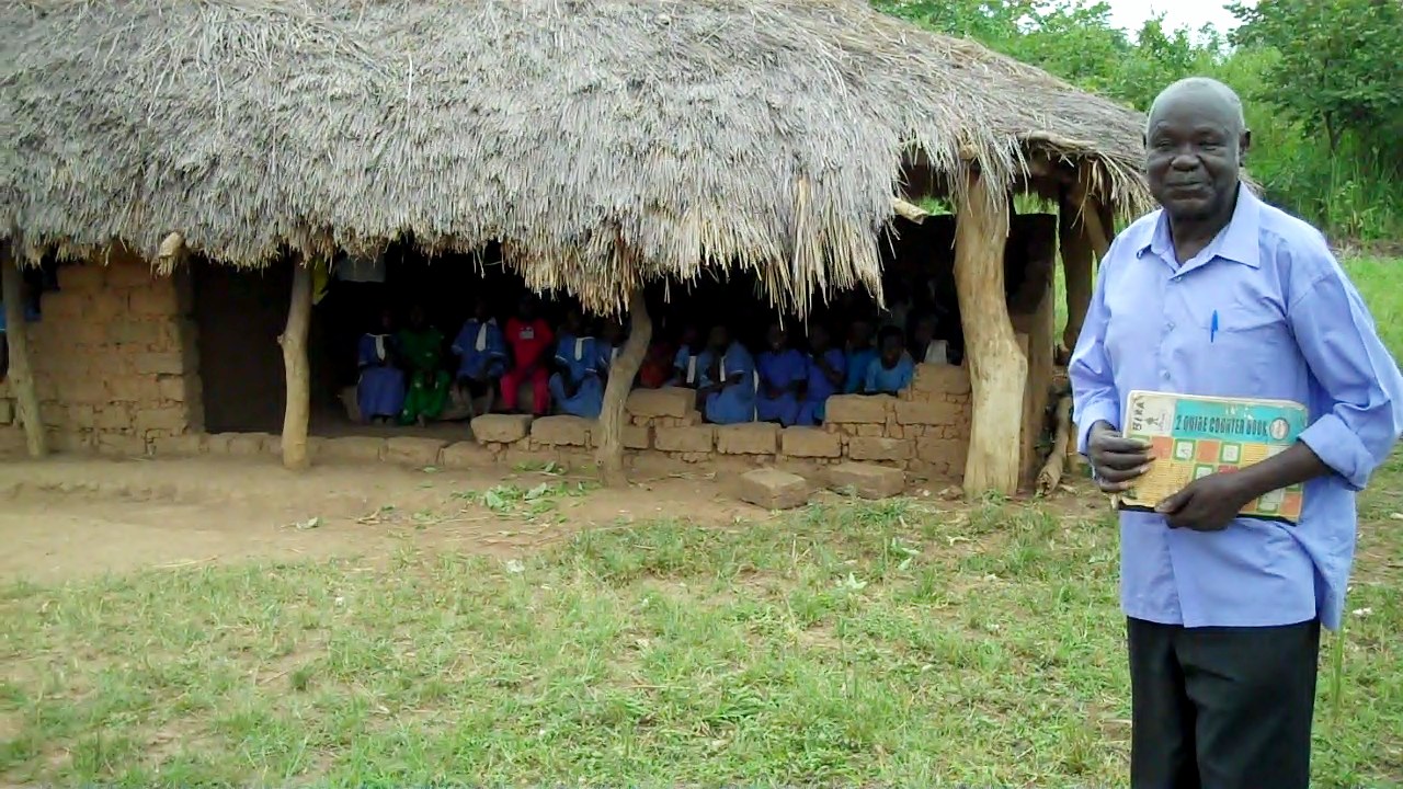
KABERAMAIDO DISTRICT
It was part of Soroti District until 2000 when it became a district. At independence in 1962, present day Soroti, Kumi, Katakwi and Kaberamaido constitute Teso District. The main language is Ateso, Kumam and Kiswahili. LOCATION It boarders Soroti in the…
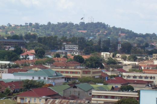
JINJA DISTRICT
Jinja was part of Busoga District at Independence. Under the 19741 provisional Administrations, it became a district in Busoga province. LOCATION It borders Iganga and Kamuli in the North, Mukono in the south west, Kayunga in the West, Mayuge in the East…

IGANGA DISTRICT
Iganga was part of Busoga at Independence in 1962. In 1975 it gained district status and it became South Busoga District in the then Busoga Province. It was named Iganga in 1980. Present day Bugiri, Kamuli and Mayuge made up Busoga District. Location It…