Posted in
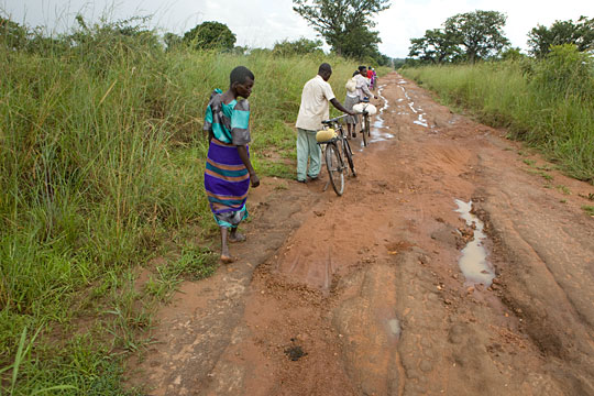
About Amuria District: OverviewAmuria District is a district in Eastern Uganda. It is named after its ‘chief town’ Amuria, the location of the district headquarters.
Amuria District is bordered by Otuke District to the north, Napak District to the northeast, Katakwi District to the east, Soroti District to the south, Kaberamaido District to the southwest and Alebtong District to the west. The district headquarters at Amuria are located approximately 44 kilometres (27 mi), by road, north of Soroti, the largest town in the sub-region.
Population
Total: 344,200
Urban: 5,136
Rural: 339,064
Access to water
Totle: 58%
Urban: 61%
Rural: 57%
Sub-Counties: 16
Location
02°02′N 33°39′E
Region: Eastern Uganda
Sub-region: Teso Sub-region
Amuria District is bordered by Otuke District to the north, Napak District to the northeast, Katakwi District to the east, Soroti District to the south, Kaberamaido District to the southwest and Alebtong District to the west. The district headquarters at Amuria are located approximately 44 kilometers (27 mi), by road, north of Soroti, the largest town in the sub-region.
Altitude: Amuria District is a plateau altitude area with gently undulating slopes located in North Eastern Uganda lying between 2° 0′ 13″ North, 33° 39′ 4″ East.
Amuria District was created in July 2005. Prior to that, it was part of Katakwi District. It comprises two counties: Amuria and Kapelebyong. The district is made up of the following administrative units:
Amuria Municipality
Abarilela Sub-county
Asamuk Sub-county
Kuju Sub-county
Orungo Sub-county
Morungatuny Sub-county
Wera Sub-county
Obalanga Sub-County
Acowa Sub-county
Kapelebyong Sub-county