Posted in
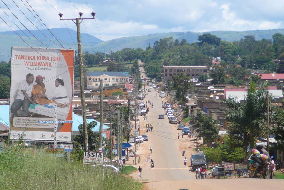
Ibanda District is a 3hr, 54 min drive west of Kampala. It is located in the Western part of Uganda. This 964.8 km2 takes on her name from its major town called Ibanda where the district headquarters are located. According to the population census of estmates of 2012 its believed that Ibanda has now a total population 255,500 with a density of 264.8/km2 and lies 1800m above sea level.
Ibanda District achieved district status in 2005. It is one of the four districts created out of Mbarara District. The District has a tropical type of climate which is hot and wet with bi-modal rainfall ranging between 1000mm-1200mm. It is located 71km from Mbarara town. The District borders Kiruhura Disrict in the East, Kamwenge District in the North and Mbarara District in the South.
Main Languages
The main local language in the area is Lunyankole and English as the official language
Economic Activities
Agriculture with emphasis on food crops such as bananas, Sorghum, maize, finger millet and beans. Cash crops include: Coffee.
Vegetables and fruits include: Tomatoes, Cabbages and Onions.
Banks; Stanbic and Centenary Bank
EDUCATION SERVICES
Ibanda District has got a total of 126 primary schools, 31 secondary school
HEALTH SERVICES
The District has a total of 31 Government heath centres and one private hospital
TOURIST ATTRACTIONS
The main tourist attraction in the District is monument for the colonial administrator called Galt, who was killed about 1km from the district offices. Stones were heaped at the site and it has since become a monument and people flock there to take photographs of the monument.
Getting there
Ibanda is a 3hr, 54min drive from Kampala through Mpigi, masaka branching off from lyatonde on Mbara Masaka Road. This is the best route when using selfdrive. While its advisable to drop off from Mbarara and get another public means to take you to Ibanda. This will take you approximately 4 hrs and 3o minutes from Kampala to Ibanda town