Posted in
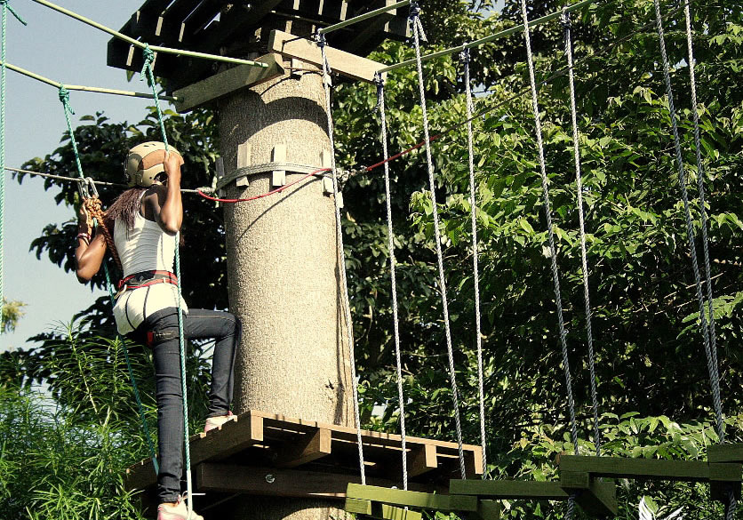
At Independence in 1962, it was part of Buganda. Following the abolition of Kingdom in 1967, it became one of the districts curved out of the Buganda Kingdom and was named East Mengo. Under the 1974 provincial Administration, it was re-named Kyagwe District. In 1980, it became Mukono District.
Location
Mukono District boarders the districts of Jinja in the East, Kayunga in the North, Luwero and Wakiso in the west and Kalangala in the south. The main language in Luganda.
Population
Mukono district has a population of 807,923 people, 403,117 of which are females and 141,990 males.
Economic activities
Agriculture is the main economic activity in Mukono district. The main food crops grown include; Cassava, Sweet potatoes, Maize, Millet, G-nuts, Pease, Soya beans, Bananas, Simsim, and Yams. The cash crops includes; Cotton, Coffee, Sugar cane and Tae.
Fruits and vegetables are also widely grown in Mukono for example; Tomatoes, Onions, Pineapples, vanilla, passion fruits and cabbage.
Education services
The district has a total of 634 primary schools with 330 government, 220 private and 84 community schools. For secondary schools, the district has over 89 schools, 20 are government, 37 private and 32 community.
Health services
The district has 9 Government dispensaries (II), 20 health centres (III), 4 health centres (IV) and I hospital. More so, it has 12 private/NGO dispensaries, 83 clinics and 3 private hospitals. Government District Hospital includes Kawolo with 100 Beds, Nkokonjeru with 100 Beds, Nagalama with 150 and St. Francis Nyenga with 100 beds.
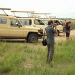
Tourist Attractions
There is Mabira Forest, a moist sem-decidous forest famous for walking and cycling trails. The forest is a home to over 100 species of large moths, butterfly fauna, 300 species of birds e.g. blue swallow, papyrus gonolek and the nahan francoline, the purple throated cuckoo etc. Picnic facilities are also available.