Districts

KATAKWI DISTRICT

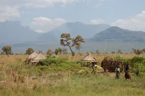
Katakwi District was created in 1997. It was formerly part of Soroti District. The 3 sub-counties which comprise Katakwi (Kapelebyong, Amuria and Usuk) belonged to Soroti until then. LOCATION It borders Moroto to the north-east, Nakapiripirit in the east, Kaberamaido […] [READ MORE »]

KAPCHORWA DISTRICT

During independence, it was known as Sebei and in 1980, it was re-named Kapchorwa. The main language is Kaksabin. LOCATION It borders the district of Sironko in the south-west, Nakapiripit in the north, Moroto in the north and the republic […] [READ MORE »]

KAMULI DISTRICT

LOCATION It borders the districts of Iganga in the East, Jinja in the south, Kayunga in the west, Soroti in the north and Pallisa in the north-east. In 1974, the provincial Administration Kamuli was part of North Busoga province. North […] [READ MORE »]

KABERAMAIDO DISTRICT

It was part of Soroti District until 2000 when it became a district. At independence in 1962, present day Soroti, Kumi, Katakwi and Kaberamaido constitute Teso District. The main language is Ateso, Kumam and Kiswahili. LOCATION It boarders Soroti in […] [READ MORE »]

JINJA DISTRICT

Jinja was part of Busoga District at Independence. Under the 19741 provisional Administrations, it became a district in Busoga province. LOCATION It borders Iganga and Kamuli in the North, Mukono in the south west, Kayunga in the West, Mayuge in […] [READ MORE »]