Districts

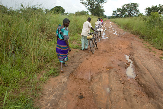
Amuria District

About Amuria District: OverviewAmuria District is a district in Eastern Uganda. It is named after its ‘chief town’ Amuria, the location of the district headquarters. Amuria District is bordered by Otuke District to the north, Napak District to the northeast, […] [READ MORE »]

IBANDA DISTRICT

Ibanda District is a 3hr, 54 min drive west of Kampala. It is located in the Western part of Uganda. This 964.8 km2 takes on her name from its major town called Ibanda where the district headquarters are located. According […] [READ MORE »]

KAMWENGE DISTRICT

Formerly part of the Kabarole district. It became a district in 2000. LOCATION It borders Kyenjojo in the east, Kabarole in the west, Kibale and Kyenjojo in the north. Mbarara in the south. POPULATION 295.313 people, 152.132 female and 143.181 […] [READ MORE »]

KABAROLE DISTRICT

It was part of Toro Kingdom at Independence. Following the abolition of Kingdoms in 1967, the kingdom became a district composed of present day Kasese, Kamwenge, Kyenjojo, Bundibugyo and Kabarole Districts. LOCATION It borders the districts of Bundibugyo in the […] [READ MORE »]

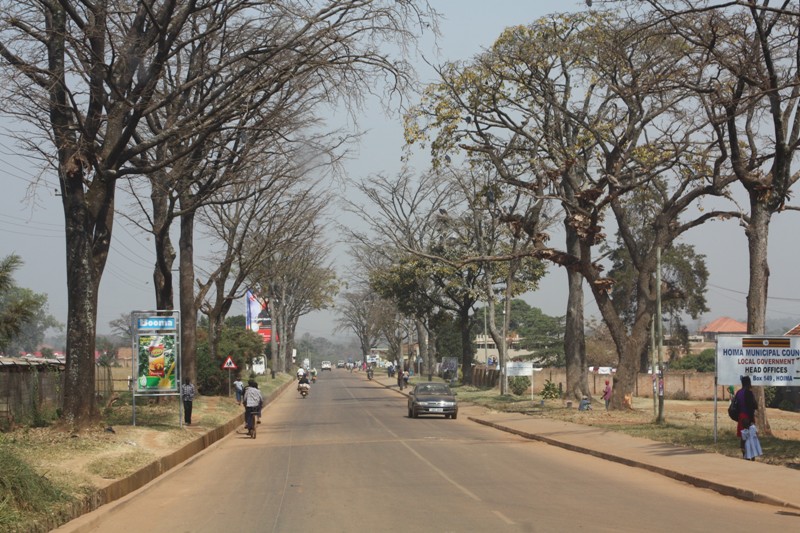
HOIMA DISTRICT

It was part of former Bunyoro District. At Independence, Bunyoro was a kingdom and Hoima was an entity within the Kingdom. When Ugandan Kingdoms were abolished in 1967, Bunyoro became a district. In 1974 Bunyoro was divided into North Bunyoro […] [READ MORE »]